Scotland
Overview
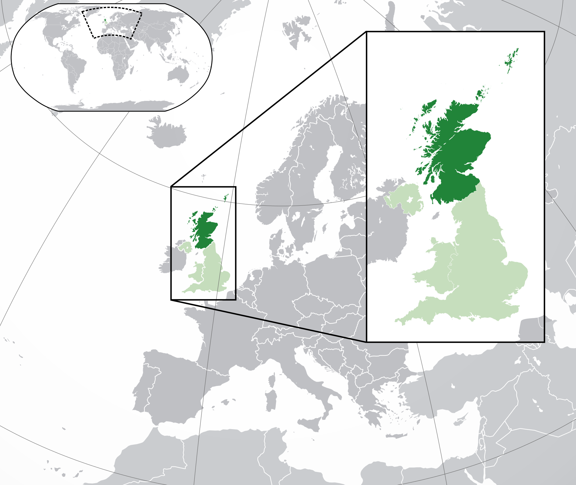
Scotland is a country located in the United Kingdom. It's size is neraly one-third of the United Kingdom. It consists of the northern part of Great Britain as well as 790 islands. The country's population is about 5.4 million (2022). It's capital city is Edinburgh, however the largest city is Glasgow.
Regions
Highlands
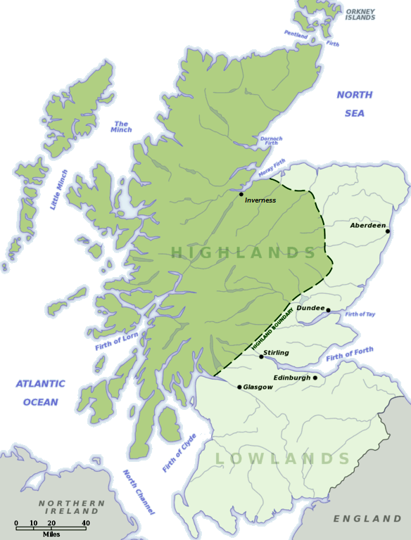
The highlands are, as the name suggests, the highest part of the country. In other terms, the highlands are the northern section of the country. It is known for the mountain ranges. Because of this, the region is not populated as much as other parts of the country. Over the years, this region has become one of the most sparsely populated regions of Europe with about 9.1 people/km².
Between the 15th century and the mid-20th century, the area was very different if compared to the Lowlands, mostly because of the language. In the highlands the most spoken language was Gaelic. This language is now mostly found on the Hebridges, which are the islands on the top left of the country.
The highlands today are most known for their whisky production. The whole area (including island sub-regions) has over 47 distilleries.
Lowlands
This is a flatter plain area in the centre of the country.
Southern Uplands
This is a hilli region along the southern border.